


Colorado State University (CSU) and the National Oceanic and Atmospheric Administration (NOAA) updated their forecasts for the 2022 Atlantic hurricane season on Thursday. Both organizations have reduced the number of named storms forecasted from earlier outlooks, but they both say you should still prepare for an active season.
“We’re lowering our forecast numbers slightly,” said Phil Klotzbach, lead author of the CSU forecast, to FOX Weather. “That’s not necessarily due to the recent quiet period, but rather to the large-scale circulation becoming slightly less favorable.”
CSU predicts an above-average season with 18 named storms, eight of which could become hurricanes with winds of at least 74 mph due to La Nia. According to experts, four of the hurricanes could be major (Category 3 or higher) with winds of at least 115 mph.
NOAA predicts a similar Atlantic hurricane season, with 14 to 20 named storms, six to ten hurricanes, and three to five major hurricanes, a slight decrease from its initial forecast in May.
Both forecasts include the three named storms that have already passed through the Atlantic this season: Alex, Bonnie, and Colin. That means the next system to develop into at least a tropical storm will be named “Danielle.”
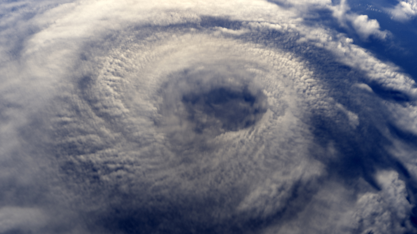
Colorado State University and NOAA have updated their forecasts for the 2022 Atlantic hurricane season, compared to the 30-year average (1991-2020) and the 2021 season.
Why has the number of hurricanes and tropical storms predicted decreased?
According to Klotzbach, the decrease in named tropical cyclones is due to the persistence of unfavorable conditions in the Atlantic Basin, which should subside soon.
“When the subtropical Atlantic is cooler than normal, vertical wind shear in the Atlantic tends to increase,” he said. Vertical wind shear, defined as the change in wind speed and/or direction with height, creates an unfavorable environment for tropical storms and hurricanes to form.
In July, the Saharan dust aided in the formation of tropical storms. The Saharan Air Layer is a mass of very dry, dusty air that originates in Africa’s Sahara Desert.
The Saharan dust is “pretty common for this time of year,” Klotzbach says.
Saharan Air Layer activity typically begins in mid-June, peaks between late June and mid-August, and then begins to decline rapidly after mid-August.
In an average year, the months of August through early October have the highest number of hurricanes and tropical storms. According to Klotzbach, 90 percent of hurricanes and 95 percent of major hurricanes form after August 1.
“So, even though we’ve completed two months of the season, we still have a long way to go!”
Despite the recent lack of activity, forecasters believe upper-level patterns will be favorable for a high-impact season.
According to CSU, the entire U.S. coastline has a 68 percent chance of being hit by at least one major hurricane.
When will tropical storms begin to form?
Despite the fact that there have been three named tropical cyclones in the Atlantic this season, which is above average, Klotzbach believes that tropical activity is on the way.
“After what happened in 2020 and 2021, I believe people became accustomed to busy early seasons. What is happening this year, on the other hand, is much more normal “He elaborates.
The Atlantic hurricane season officially began in June and will not end until September 10.
“Communities and families should start preparing now for the rest of what is expected to be an active hurricane season,” said Ken Graham, director of the National Weather Service. “Make sure you’re ready to act if a hurricane threatens your area by developing an evacuation plan and gathering hurricane supplies now, before the storm hits.”
How does this year’s hurricane season compare to others?
According to the CSU team, the characteristics of this hurricane season are similar to those of 1999, 2000, 2011, and 2021.
“1999 was an extremely active Atlantic hurricane season,” Klotzbach said, “2011 and 2021 were above-average seasons, and 2000 was near-average.”
The CSU team predicts that hurricane activity in 2022 will be approximately 120 percent of the average season.
Despite the CSU’s prediction of 18 named tropical cyclones, these numbers are higher than the 30-year averages of 14 named storms, seven hurricanes, and three major hurricanes. If the forecast holds true, 2022 will be the seventh consecutive above-average Atlantic hurricane season, which would be the longest streak of above-average activity on record.