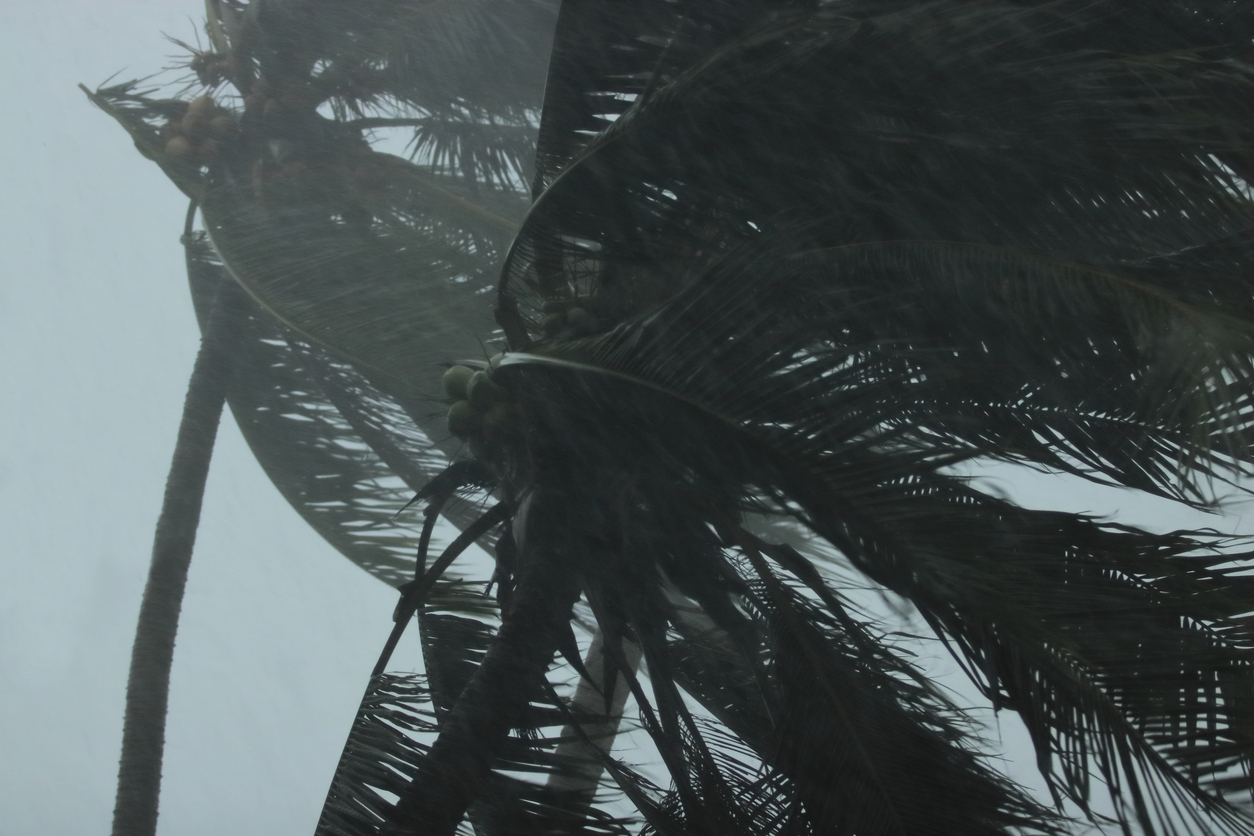
Hurricane Lane dumped so much water on Hawaii this past week that it has earned a spot among the most extreme weather events on record in the U.S., according to preliminary rainfall totals the National Weather Service issued Sunday.
About 51.5 inches were measured between last Wednesday and Sunday at a weather station near Hilo. Lane’s downpour is expected to be the country’s third-highest rainfall total from a tropical cyclone since records began in 1950, just behind Hurricane Harvey last summer and Hurricane Hiki nearly 70 years ago.
The rainfall has been “torrential,” the NWS reported. It triggered significant flash flooding across the Big Island, which bore the brunt of the storm before Lane bombarded Oahu and Maui.
Lane has passed and the NWS ended its flash flood advisories on Sunday, but Hawaii is not in the clear. Models show that another powerful weather system could pummel the state sometime in the next two weeks.
t’s rare for hurricanes to hit Hawaii but scientists warn that warmer ocean temperatures linked to climate change could make such events more common. Waters just south of the archipelago are currently about 1 degree Celsius warmer than average.
The Atlantic has so far had a relatively quiet hurricane season ― and it may stay that way, if El Niño develops as anticipated.


